 Moniteau County Missouri

Clay Family Cemetery listings
Moniteau County Missouri
Clay Family
Cemetery listings
The Clay cemetery is located northwest of Wardsville. It is listed as the Ott Farm cemetery in the 1930s listing of Cole County Cemeteries.
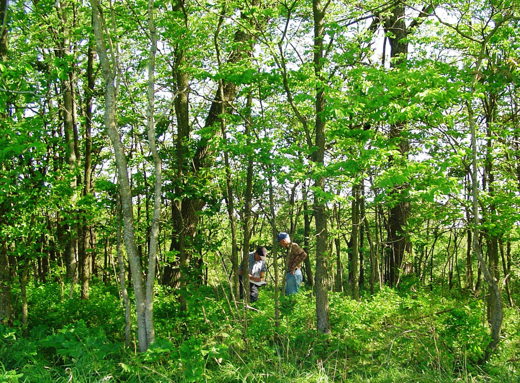
James Albin and Alan Sparks visited this cemetery April 1, 2010 when the pictures were taken.
Directions to cemetery: From Wardsville, take Rt B west approximately 1.6 miles and turn north on Tanner Bridge Spur. Travel north/northwest approx. 4/10s of a mile and turn right (continue north) on Tanner Bridge Road for approx. 6/10s of a mile until coming to private drive. Turn east and go up the hill approx. 7/10s of a mile. The cemetery will be approx. 1/2 mile south of the house at the edge of timber after going through a series of fields. This is a cemetery where the landowner will have to show you where it is.
GPS Coordinates: 38.495556, -92.193028
All photos and photos linked to from this page are Copyright © 1997- Alan Sparks - www.moniteau.net, All Rights Reserved.
Please do not use them on other websites (including Find-a-grave) without permission.
* = Calculated Date based on age; d/o = daughter of; s/o = son of; w/o = wife of; m = married
![]() = Click for picture
= Click for picture
Last Name, First Name, Middle, Birth Date, Death Date, Comments
Clay James -- Died 1847 Jan 16 -- Aged 61y -- Pic 1:
![]() Pic 2:
Pic 2:
![]() Pic 3:
Pic 3:
![]()
Clay Pheby -- Died 1866 Jun 04 -- Aged 75y -- Pic 1:
![]() Pic 2:
Pic 2:
![]() Pic 3:
Pic 3:
![]() Pic 4:
Pic 4:
![]()
Please go to the
contact page with questions or comments
about this web site
Copyright © 1997-
Alan Sparks - Moniteau County MOGenWeb, All Rights Reserved.
Last modified:
January 30, 2019